Walking Among Stone Gateways and Thunderous Cauldrons
Carboniferous Limestone: Architecture of Natural Bridges
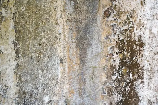
Formed in warm, shallow seas around 340 million years ago, these limestones accumulated from shelly debris, lime-rich muds, and reefs. Later compression, gentle folding, and jointing created planes of weakness that waves exploit. Notice pale bedding ribbons, occasional crinoid fragments, and solution pits; together they reveal why certain spans stand boldly while neighboring ledges crumble into spray-lashed aprons.
Joints, Faults, and the Patience of Waves
Lines etched through the cliff—vertical joints, small faults, and bedding steps—focus hydraulic force like chisels. Swell refracts around headlands, compressing energy into corners, while trapped air in notches hammers each surge. Watch for echoing booms, spindrift geysers, and fresh rock dust after storms; these are signatures of a coastline actively engineering its own arches and blowholes.
From Cave to Arch to Stack to Stump
Picture a dark cave cutting into a promontory, lengthening until two mouths nearly meet. One tempest later, daylight rings through: a bridge. Gravity and frost exploit the thinned roof, dropping slabs until isolation creates a stack. Decades more, and the pillar falls, leaving a stump harboring kelp and foaming tide races.
Landmarks to Lace Your Boots For
01
The Green Bridge of Wales: A Window Through Time
Reached along the Castlemartin cliffs, this sweeping arch frames Atlantic light and restless swells. Study its bedded layers stepping across the span, the joint-defined abutments, and sharp-edged collapse blocks below. Access sometimes depends on Ministry of Defence range schedules; check notices, keep distance from unfenced edges, and linger to feel each gust vibrate through the limestone.
02
Elegug Stacks: Cliffs Adrift with Guillemots
Two pale pillars stand just offshore, crowded each spring by razorbills and guillemots whose cries ring like surf. Notice bedding dipping gently, wave-cut notches, and guano-streaked ledges advertising safe nesting benches. Bring binoculars, respect seasonal restrictions, and compare each stack’s outline; subtle asymmetries reveal wind exposure, wave approach angles, and histories of past rockfalls.
03
The Witches’ Cauldron at Ceibwr: Breathing Sea and Collapsed Roofs
North of Newport near Ceibwr, a collapsed sea cave forms a vivid emerald pool that heaves and sighs with incoming swell. The opening tunnels under a fallen roof, sometimes spurting like a low blowhole when seas rise. Stay well back from crumbly rims, listen for booming breaths, and watch foam trace hidden conduits beneath.
Tides, Storms, and the Living Edge
Wayfinding, Safety, and Access Wisdom
Hands-On Geology for Walkers
Sketch What You See: Profiles, Bedding, and Scale
Quick pencil lines shape attention. Start with the horizon, add headland outlines, then mark bedding with spaced ticks and note joint directions with short strokes. Include a human figure, backpack, or walking pole as scale. Later, small discrepancies reveal erosion, new rockfalls, and shifting sea arches’ clean-edged openings.
Angles and Apps: Estimating Dip and Strike Without Tools
Lay a straight walking pole along a bedding surface and sight against the horizon to estimate dip. Use a compass app away from metal fences for strike. Jot approximate degrees with weather notes. Comparing multiple readings teaches how structure controls cave orientation, arch geometry, and eventual stack separation.
Photographing Change: Citizen Science Along the Path
Choose a consistent viewpoint, log the date, tide, and wind, then frame the same notch, arch, or stack every visit. Share images with local projects or rangers, who track rockfalls and habitat shifts. Your careful habit becomes quiet evidence that helps protect fragile ledges and breeding seasons.
From Quarrymen to Coastguard Lookouts
Names, Myths, and Navigation by Promontory
All Rights Reserved.